The Story of the Ashton Lodge
Crafting Visions in Construction
At UA-Visions, we’re not just operators and photographers; we’re artisans of documentation, your go-to narrators for every stage of construction development. Based in the scenic Charleston, WV, we blend the art of traditional photography with the cutting-edge perspective of drone videography. Our service of SDRS Construction Progression Ashton WV — capturing the life cycle of construction projects with precision and artistry.


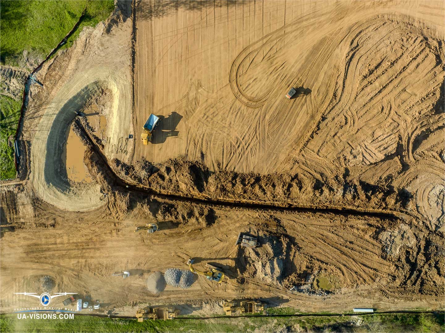

Building Hopes: The Southeastern Disaster Relief Services Project
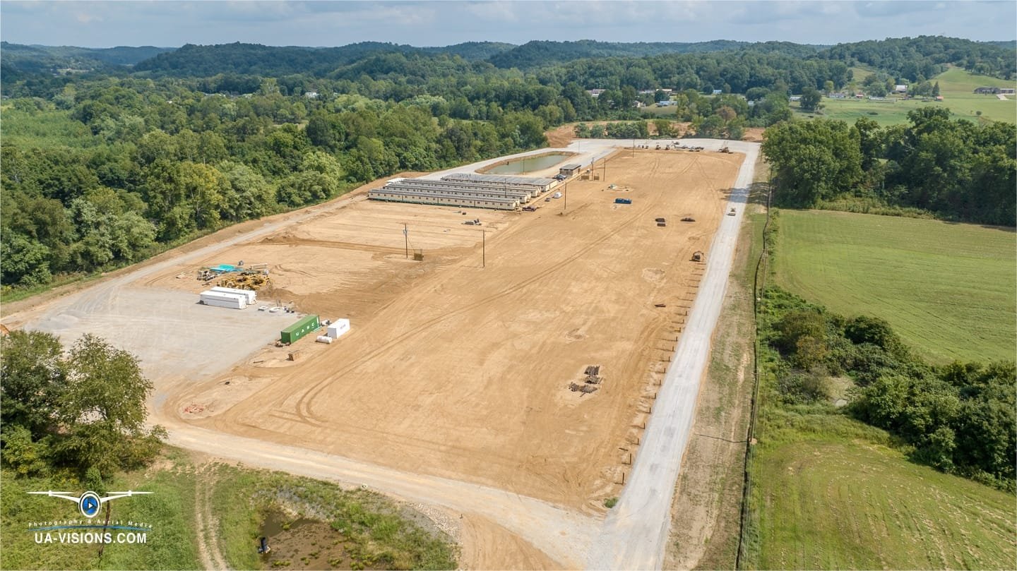
The Southeastern Disaster Relief Services (SDRS) project is forging a future in Ashton, WV, not just for those who will call it home but for the workforce powering the nearby Nucor steel mill. Our cameras are there, capturing the SDRS’s commitment to creating a modern-day oasis for the hardworking souls who will breathe life into the steel beams of Nucor’s enterprise.
Proximity and Progress: The Neighboring Nucor Project
While UA-Visions’ cameras have been trained on SDRS, the Nucor construction project hums nearby—a parallel testament to growth. With every snapshot and video reel, we aim to do more than just document; we aim to inspire with the transformative power of progress. Join us at UA-Visions, where your architectural feats become our visual symphony.
Partnership with Black Diamond Camps and Lodging
The partnership between Southeastern Disaster Relief Services (SDRS) and Black Diamond Camps and Lodging represents a strategic alliance with a shared vision for progress and sustainability. Black Diamond Camps and Lodging contributes their specialized expertise in the design and construction of modular, transportable living quarters that offer more than mere functionality; they provide a sanctuary conducive to well-being and productivity. This cooperative venture goes beyond mere construction; it is an investment in the workforce, equipping them with facilities that ensure comfort and security as they contribute to essential infrastructure projects. Together, the synergy of SDRS and Black Diamond Camps and Lodging is setting new standards for living accommodations in the field of industrial construction.


From Blueprint to Reality
Leveraging Drone Mapping for Construction Success
Drone mapping has revolutionized the construction industry by offering a birds-eye view that is invaluable for construction progression monitoring. This technology provides a plethora of benefits that facilitate more efficient, accurate, and cost-effective construction management processes.
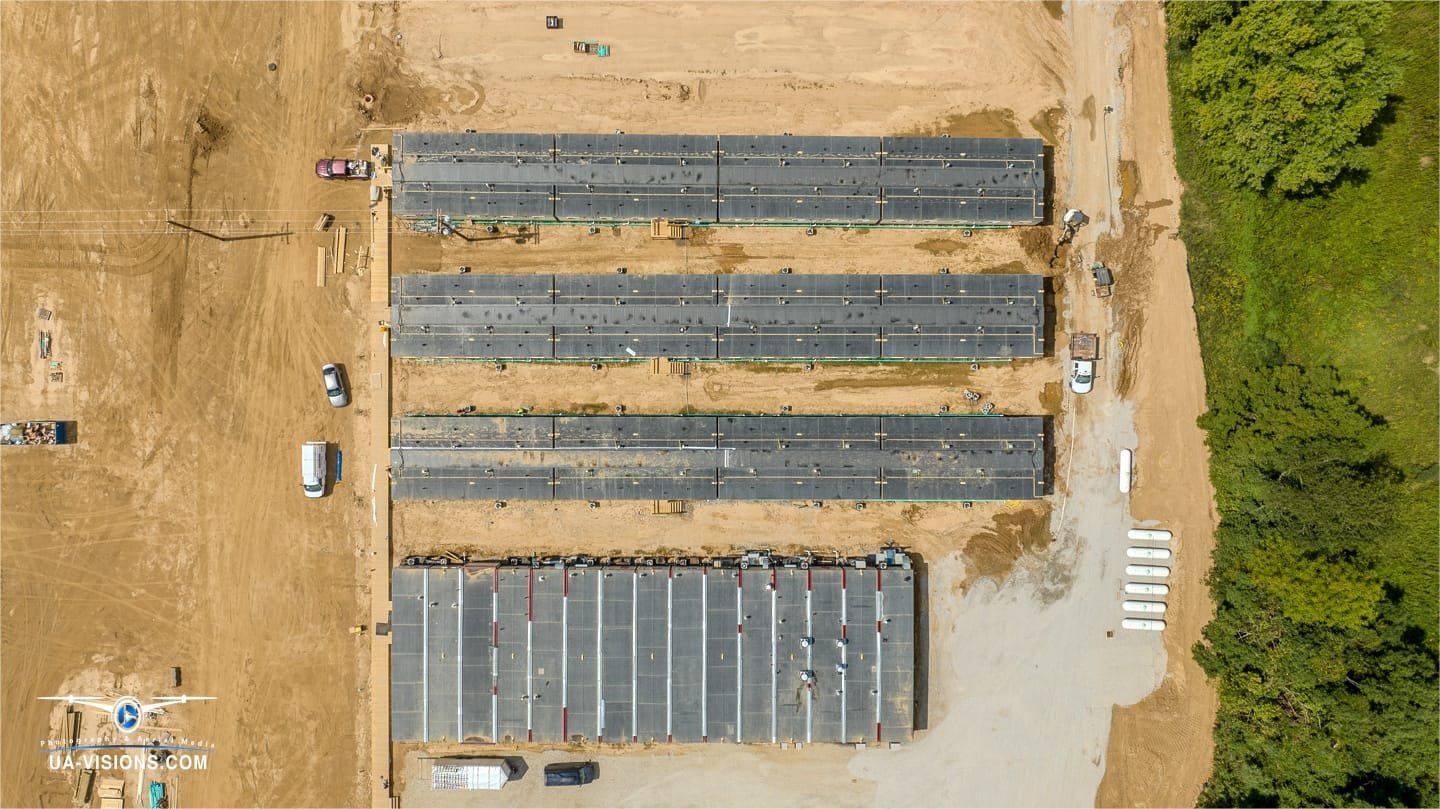
One of the primary advantages of drone mapping is the comprehensive site data it provides. Traditional survey methods can be time-consuming and often less accurate. Drones, however, can quickly capture detailed topographical data, delivering high-resolution maps and 3D models of the site. This allows for precise measurements which are crucial during the planning and design phases of construction.
The ability to monitor progress in real-time is another significant benefit. Project managers can utilize drone-captured imagery to track developments, manage resources more effectively, and ensure that the project adheres to timelines. These aerial views can also identify potential issues before they become costly problems, thus mitigating risks and maintaining safety standards on site.
Shaping the Future of Construction with Drone Mapping
Drone mapping contributes to improved communication among stakeholders. By providing up-to-date visual progress reports, all parties involved—from investors to contractors—can stay informed and make data-driven decisions. This visual tool can bridge the gap between technical site reports and practical understanding.
The environmental impact of construction projects is also better managed with drone mapping. Drones can survey the impact on surrounding ecosystems without disturbing them, ensuring that construction projects remain compliant with environmental regulations.
Drone mapping can significantly reduce costs. By streamlining the surveying process and providing accurate data quickly, construction projects can avoid unnecessary expenditures related to traditional mapping methods or unforeseen construction errors. stands as a transformative force in the construction industry, enhancing data accuracy and providing efficient monitoring of progress.
This technology that offers enhanced data accuracy, efficient progress monitoring, improved stakeholder communication, better environmental compliance, and cost reduction. Its integration into construction progression is not just a trend but a transformative shift in how the construction industry operates. For those in the construction industry, embracing drone mapping is a step towards smarter, safer, and more sustainable building practices.
Project Overview: Southeastern Disaster Relief Services Construction in Ashton, WV
The Ashton Lodge by Southeastern Disaster Relief Services (SDRS) is commencing a significant new development. At UA-Visions, we were tasked with the comprehensive documentation of this substantial project, capturing its inception and growth. The ambition of SDRS extends far beyond the mere construction of buildings; it is an initiative to establish a bastion of support and resilience. SDRS is committed to creating a versatile facility poised to respond to the community’s needs, reflecting the indomitable spirit of West Virginia.
As our ongoing coverage of documenting the SDRS project continues, we work to capture each chapter of the story in detail through visual content. With each phase of development, we capture the critical moments that mark the project’s progress while providing valuble insight to shareholders. Providing a continuous visual record that will chart the transformative journey of the SDRS project, highlighting the development and anticipation of the positive changes it promises for Ashton.
SDRS Construction Progression Ashton WV
Aerial and Ground Footage: Capturing Construction Milestones
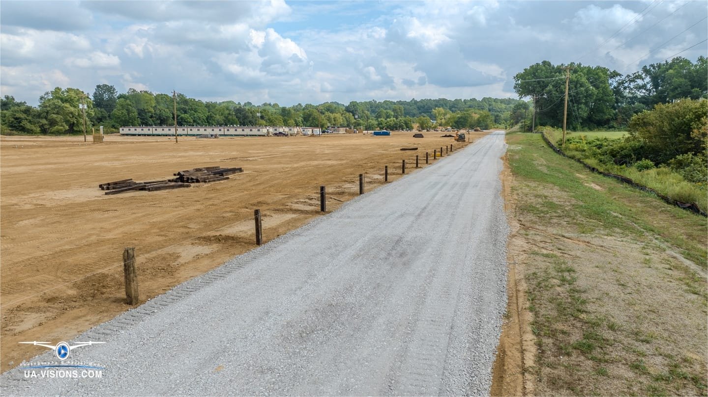
High above the construction site or right in the thick of it, our video content productions bring the project to life. Our birds-eye view through aerial footage stitches a narrative of progress, each frame a testament to the daily transformations. Video productions isn’t all about the aerial footage. Mixed in our ground-level lenses catch the candid moments of creation—the grit, the precision, the teamwork. It’s a visual journey from an empty canvas to a landscape growing with potential, with the professional quality marketing and advertising video content.
Innovative FPV Drone Videography Inside Living Accommodations
But this story goes deeper than ground level footage. We go right into the living spaces and dining hall with our small and agile First Person Video (FPV) drone. Gliding through the soon-to-be-filled halls of worker accommodations, we offer an intimate preview of life on-site. These innovative tours provide a glimpse of the future, showcasing the thoughtful amenities that will support the hardworking crew bringing this vision to life.
Crafting the Framework: The Site’s Evolution
From Dirt Work to Pond Installation, Each Image Tells a Story.
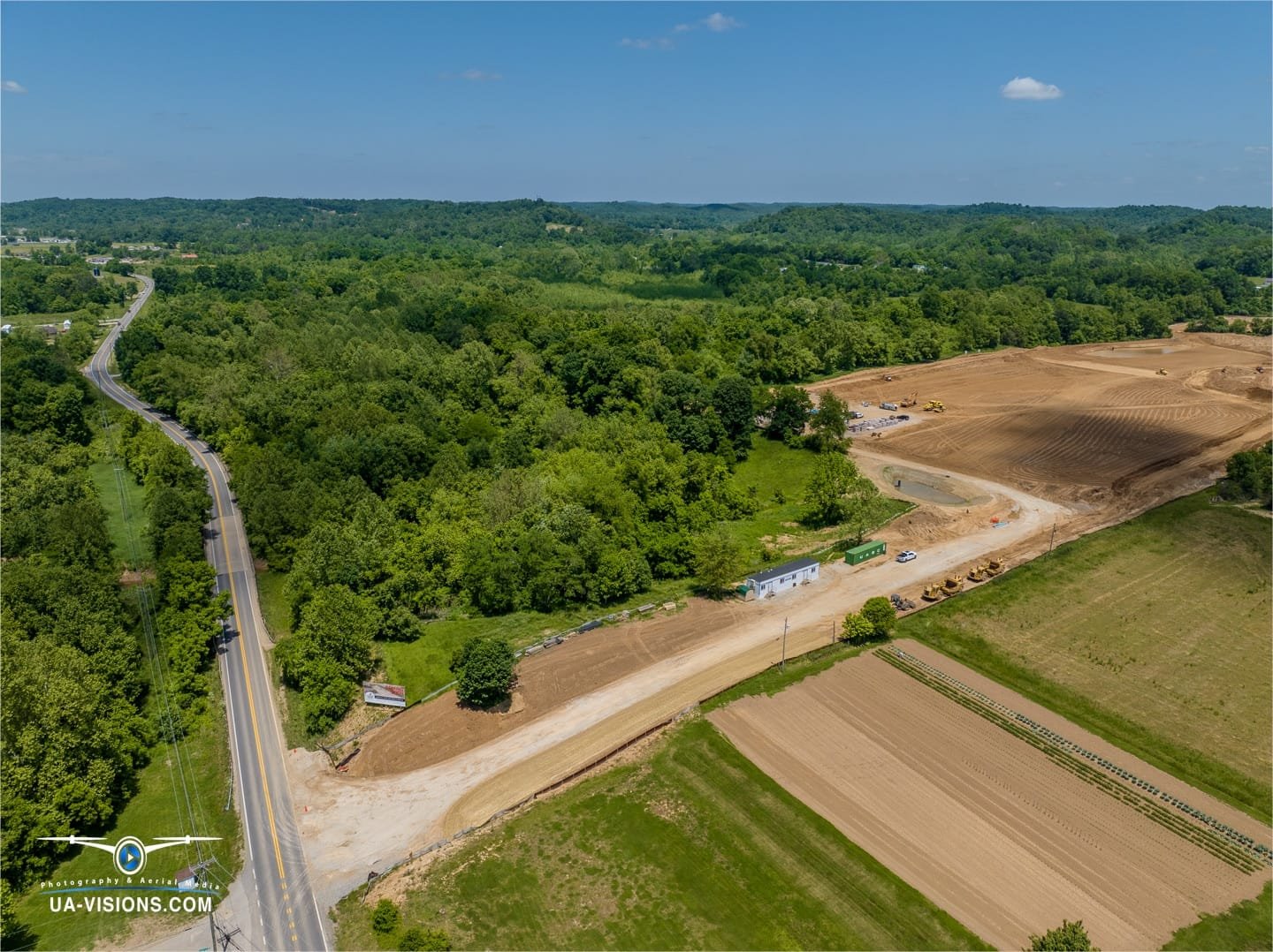
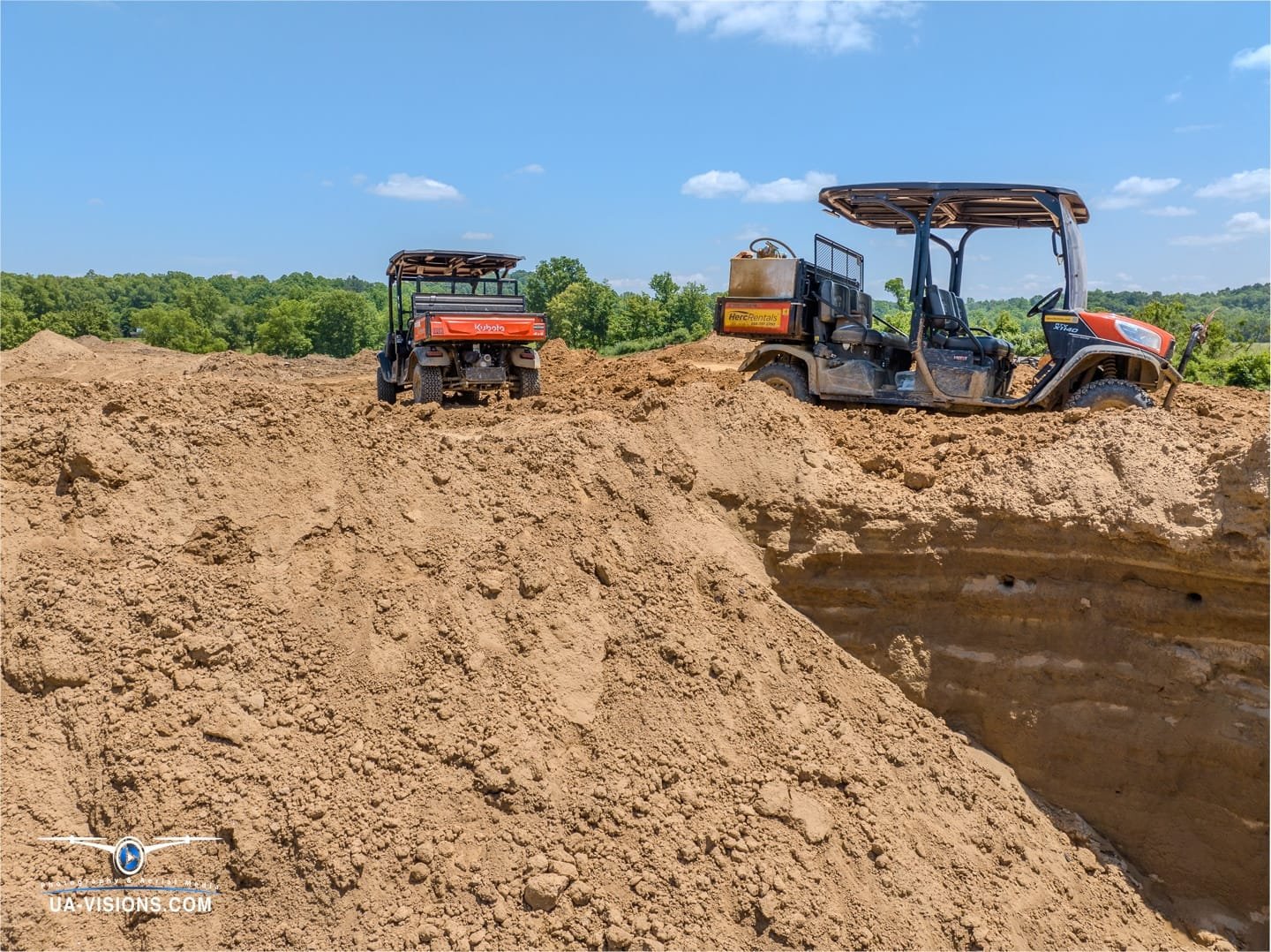
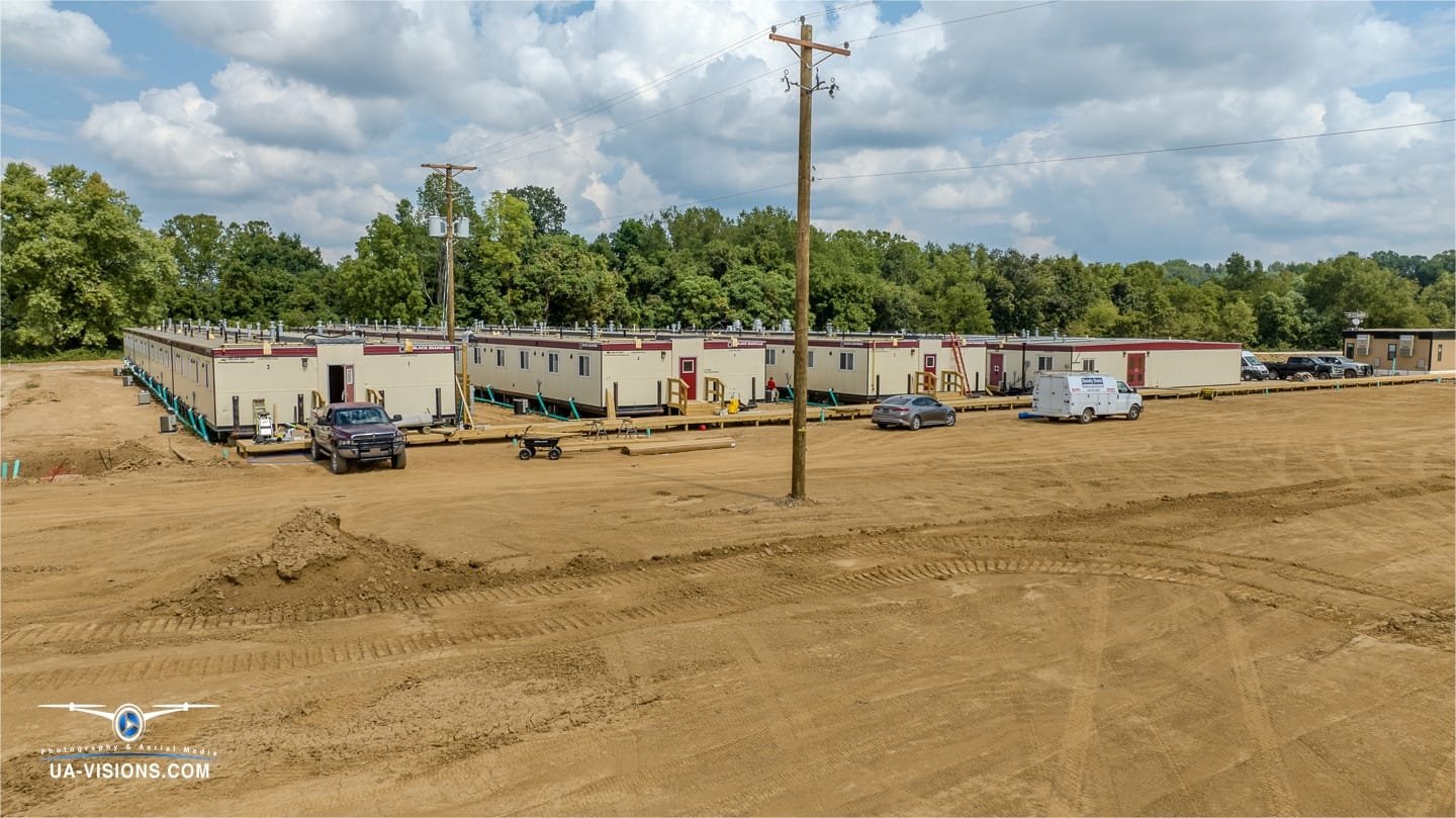
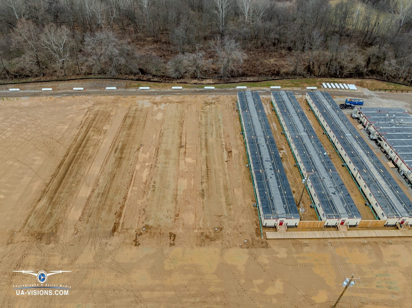
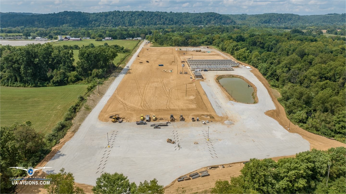
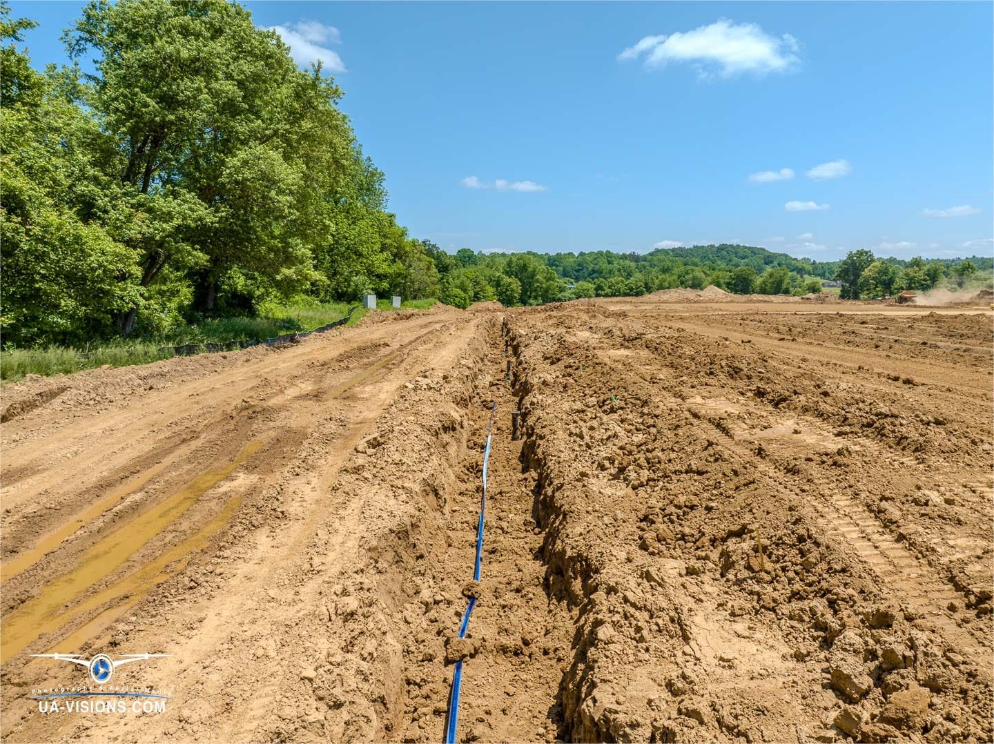
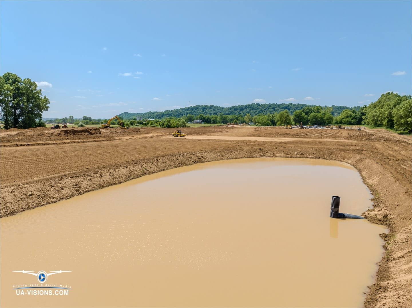
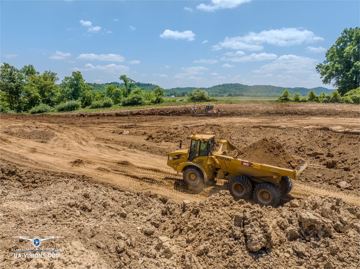
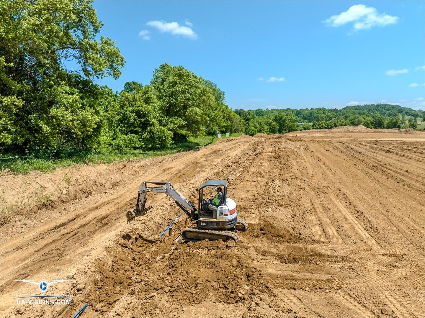
At the very core of our narrative lies the raw transformation of the land. UA-Visions captures the symphony of heavy machinery—a ballet of bulldozers and the cadence of cranes. From the initial groundbreaking, moving earth to shape the foundation, to the strategic creation of water features, our footage documents the remarkable stages of infrastructure development that lay the groundwork for lasting change.
Temporary Housing Trailers with Full Amenities
Our lenses don’t just focus on the grandeur of construction; they zoom in on the human element. The temporary housing trailers emerge as more than just structures; they’re the first homes of a thriving future workforce. We spotlight the full spectrum of amenities these mobile abodes offer, from Wi-Fi to warm meals, ensuring every worker has not just a place to rest but a space to recharge.
Bridging Industry Giants: SDRS and Nucor
Imagine a bird’s eye panorama where two industrial titans coexist. Our aerial views do just that, tracing the geographic harmony between Southeastern Disaster Relief Services and the Nucor construction site. The footage paints a picture of industrious neighbors, each carving their own legacy mere miles apart, yet contributing to a shared skyline of innovation and growth.
Immersive Inspection and the Advantages of 360° Construction Site Imagery
Drone technology has introduced a new dimension to construction site monitoring, with 360-degree images providing a full, wraparound view of ongoing projects. This all-encompassing perspective allows for thorough inspections and detailed project tracking that traditional photography cannot match. With 360-degree imagery, stakeholders can virtually navigate the site, identify issues early, and make informed decisions to keep the project on track, all while facilitating clear and collaborative communication. This level of detail ensures comprehensive oversight and can lead to significant improvements in safety, efficiency, and overall project management.
Experience Our Work WITH VIDEO Visit our Social Pages
All our captivating video footage from many of our projects can be found on our social media pages. Dive into a world of mesmerizing digital media services & drone imaging and relive the moments we’ve captured by clicking one of our pages below.
Client Testimonials
Our portfolio speaks volumes, with each case study narrating a saga of dedication and precision. But the chorus of our client testimonials sings the loudest praises.
Let’s Get Connected
Got a project in the works? Dreaming up a blueprint? We’re all ears—and eyes. Reach out to UA-Visions for a consultation on how we can frame your project’s progress into a compelling visual story.

