Drone Inspections in Charleston, WV
FAA Part 107 Certified | Roof, Tower, Infrastructure & Thermal Imaging Support
How UA-Visions Can Help
A safer way to document hard-to-reach assets
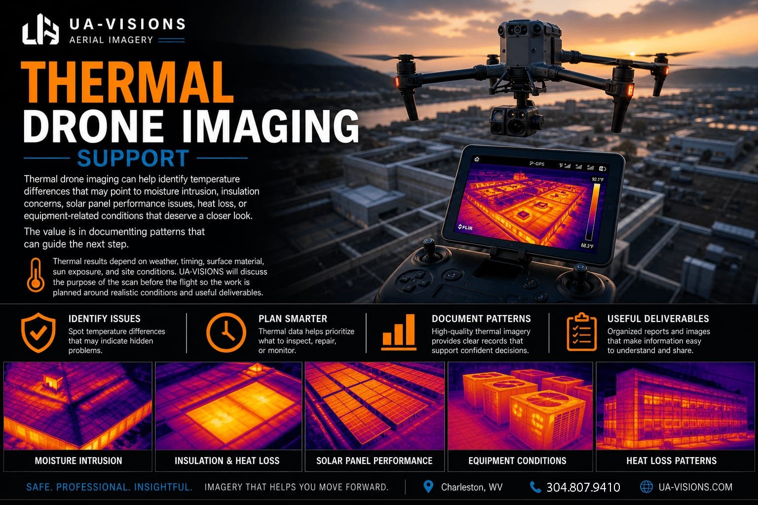
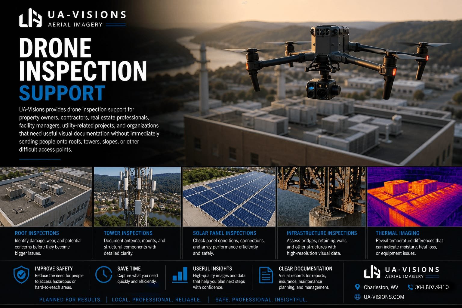
UA-Visions provides drone inspection support for property owners, contractors, real estate professionals, facility managers, utility-related projects, and organizations that need useful visual documentation without immediately sending people onto roofs, towers, slopes, or other difficult access points.
Based near Charleston, West Virginia, we support inspection projects across Kanawha County, Putnam County, and nearby communities including South Charleston, Cross Lanes, Nitro, St. Albans, Teays Valley, Hurricane, Winfield, and Dunbar.
Drone inspection imagery does not replace a licensed engineer, code official, roof contractor, or trade specialist when one is required. It gives those decision-makers better visual information before they climb, quote, repair, or investigate further.
Aerial Inspection Services
Roof and Building Inspections
Document visible roof conditions, storm damage indicators, drainage issues, gutters, flashing, access concerns, and general exterior conditions before sending crews into elevated areas.
Tower and Vertical Asset Documentation
Capture visible tower components, antennas, mounts, cabling routes, access conditions, height relationships, and surrounding site context from controlled viewpoints.
Infrastructure and Industrial Sites
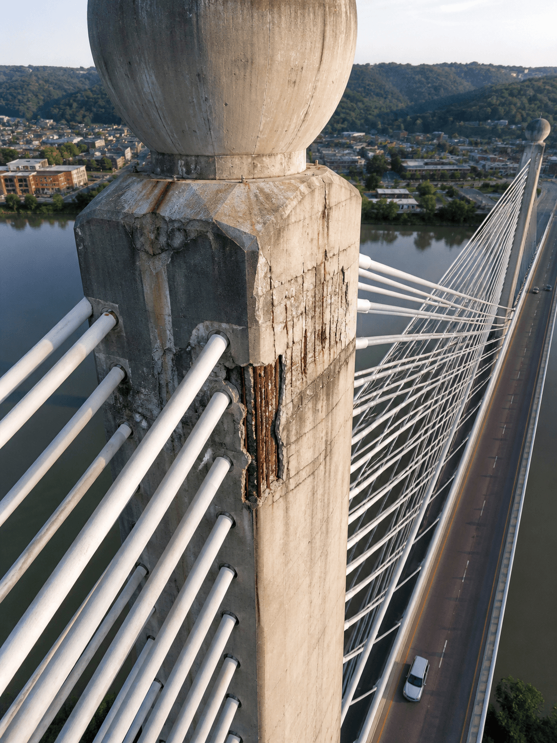
Support bridges, tanks, utility-related sites, construction areas, and large facilities with overview imagery, close-up detail images, and organized site documentation.
Thermal Drone Imaging
Use thermal imagery when temperature differences may help identify moisture indicators, insulation concerns, solar panel issues, heat loss, or equipment conditions that deserve closer review.
Mapping and 3D Model Inputs
Capture overlapping aerial imagery for orthomosaic-style views, mapping support, photogrammetry inputs, and clearer project documentation for larger sites.
Custom Inspection Support
Build a flight plan around the asset, access limits, required detail, project timeline, safety considerations, and how the files will be used after delivery.
Thermal Drone Imaging Support
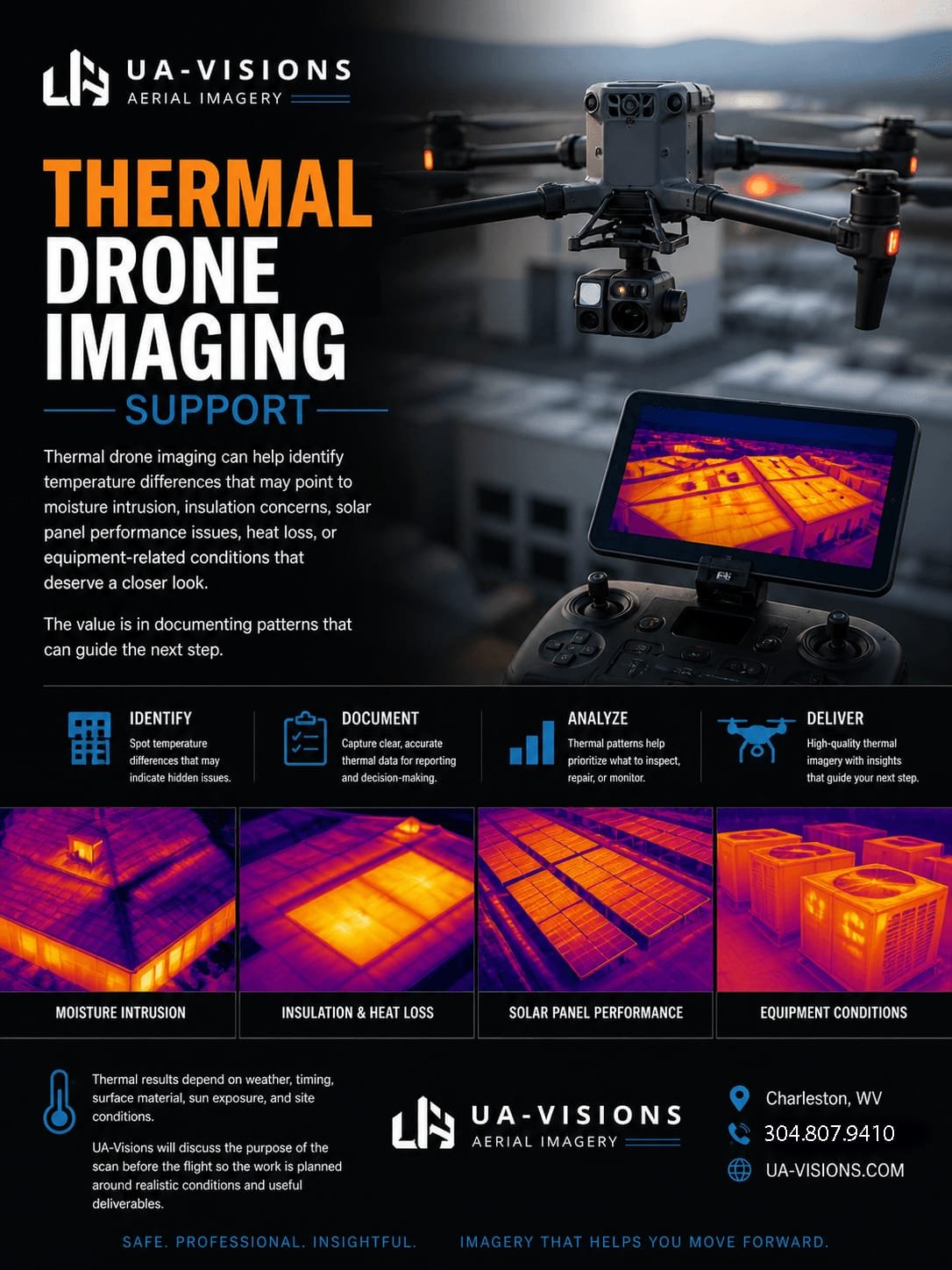
Thermal drone imaging can help identify temperature differences that may point to moisture intrusion, insulation concerns, solar panel performance issues, heat loss, or equipment-related conditions that deserve a closer look. The value is in documenting patterns that can guide the next step.
Thermal results depend on weather, timing, surface material, sun exposure, and site conditions. UA-Visions will discuss the purpose of the scan before the flight so the work is planned around realistic conditions and useful deliverables.
Tower, Infrastructure, and Industrial Documentation
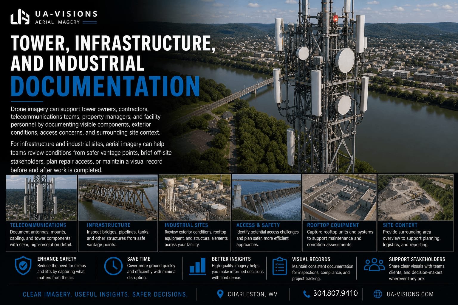
Drone imagery can support tower owners, contractors, telecommunications teams, property managers, and facility personnel by documenting visible components, exterior conditions, access concerns, and surrounding site context.
For infrastructure and industrial sites, aerial imagery can help teams review conditions from safer vantage points, brief off-site stakeholders, plan repair access, or maintain a visual record before and after work is completed.
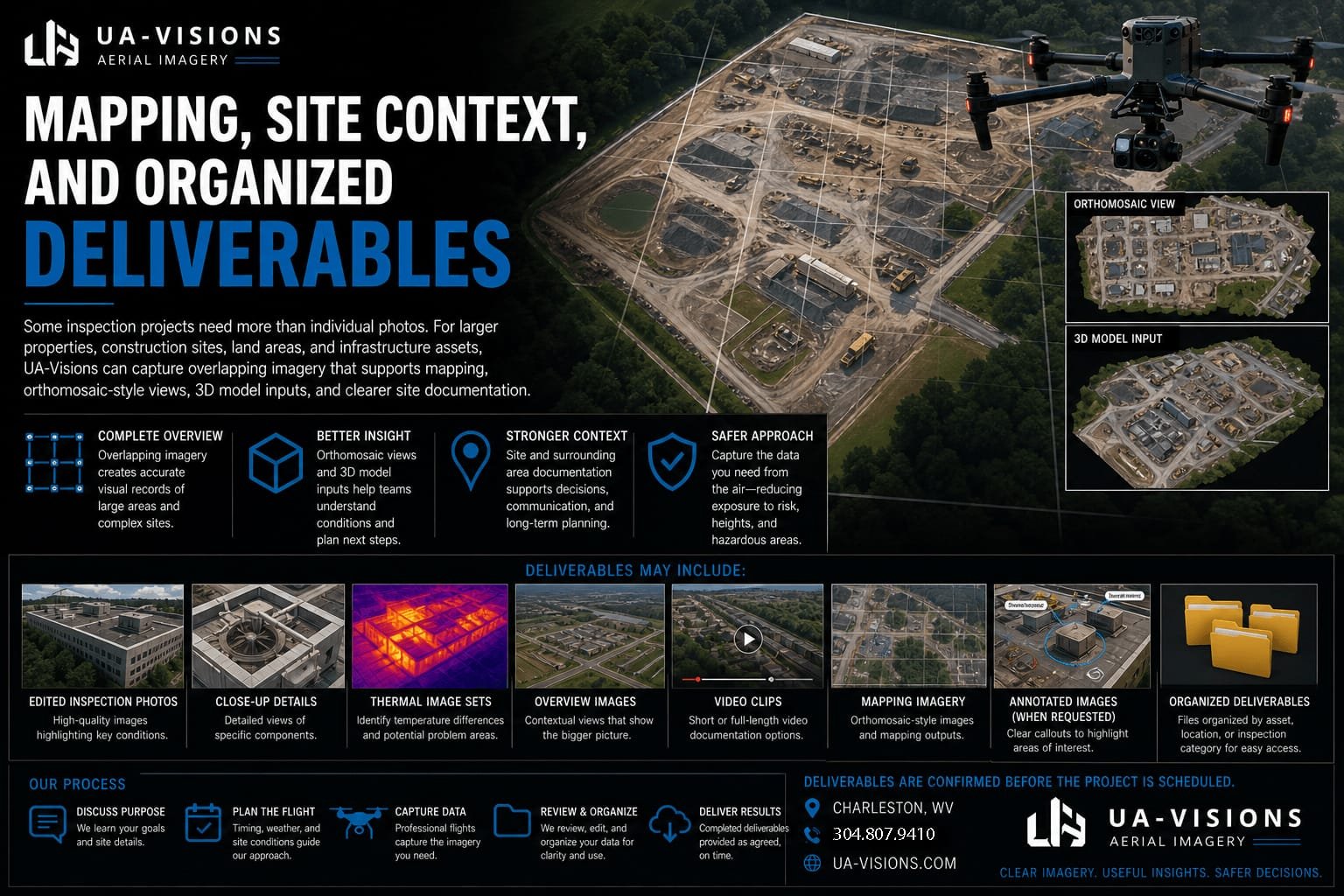
Mapping, Site Context, and Organized Deliverables
Some inspection projects need more than individual photos. For larger properties, construction sites, land areas, and infrastructure assets, UA-Visions can capture overlapping imagery that supports mapping, orthomosaic-style views, 3D model inputs, and clearer site documentation.
Typical deliverables may include edited inspection photos, overview images, close-up details, annotated images when requested, thermal image sets, video clips, mapping imagery, or organized folders by asset, location, or inspection category. Final deliverables are confirmed before the project is scheduled.
Inspection Workflow
1. Scope the need. We identify the asset, location, access limits, image requirements, and how the material will be used.
2. Plan the flight. We review airspace, safety considerations, weather, site access, and timing.
3. Capture the imagery. We collect aerial photos, video, thermal imagery, or mapping images based on the agreed scope.
4. Deliver organized files. You receive practical visual documentation that can be shared with contractors, owners, managers, or decision-makers.
Review Examples Before Scheduling
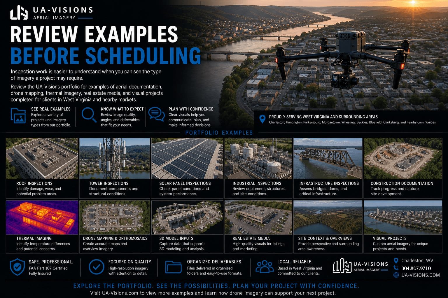
Inspection work is easier to understand when you can see the type of imagery a project may require. Review the UA-Visions portfolio for examples of aerial documentation, drone mapping, thermal imagery, real estate media, and visual projects completed for clients in West Virginia and nearby markets.
View the UA-Visions portfolio or contact us to discuss the specific asset, property, or site you need documented.
Why Clients Use Drone Inspection Support
Drone inspections help clients gather useful visual information before committing to more expensive access methods. They can reduce unnecessary climbing, improve pre-project planning, document existing conditions, and create a clearer record for teams who are not all standing at the same site.
Frequently Asked Questions
What types of drone inspections does UA-Visions support?
We support visual documentation for roofs, buildings, towers, bridges, industrial sites, land areas, construction sites, utility-related corridors, and custom inspection needs. The specific flight plan and deliverables depend on the asset, location, access, safety conditions, and intended use.
Do you provide thermal drone inspections?
Yes. Thermal imaging can be used when temperature differences may help identify areas that deserve closer review. It is commonly considered for roofs, solar panels, building envelope concerns, moisture indicators, and equipment-related conditions. Thermal results must be interpreted with the project conditions in mind.
Can drone inspection imagery replace a licensed inspection?
No. Drone imagery is visual documentation. It can help contractors, engineers, property owners, and managers make better decisions, but it does not replace a licensed professional inspection, engineering opinion, code determination, or repair recommendation when one is required.
What areas do you serve?
UA-Visions is based near Charleston, West Virginia and serves Charleston, South Charleston, Cross Lanes, Nitro, St. Albans, Teays Valley, Hurricane, Winfield, Dunbar, Kanawha County, Putnam County, and surrounding areas. Larger projects within West Virginia can be discussed during scheduling.
What do clients receive after the inspection flight?
Deliverables are based on the scope. Common options include organized inspection photos, close-up detail images, overview images, video clips, thermal image sets, mapping imagery, annotated images, or project folders organized by asset or location.
How do I request a drone inspection quote?
Send the location, asset type, inspection purpose, preferred timeline, and any known access restrictions. If available, include site photos, maps, roof plans, tower information, or a brief explanation of what needs to be documented.
Get in touch
Tell Us What You Need Documented
Use the form below to share the inspection location, asset type, timeline, and the type of visual documentation you need. Include any known access limits, safety concerns, or deliverable requirements.
Request a drone inspection quote | View drone services | Review drone mapping services